About Bruny Island
Bruny Island is comprised of two land masses off the coast of south east Tasmania, each connected by a narrow Isthmus. It is home to pristine beaches, infinite wilderness, and a plethora of activities and gustatory wonderment.
Supported by thousands of tourists and a booming farm-to-table export industry, Bruny Island is an isolated experience that is inexorably authentic – simultaneously connected & isolated, interesting & serene, convincingly original and obscenely satisfying.
Not Your Average Rock
Nearly 100 kilometers in length, Bruny Island’s two main land masses cover nearly 365 square kilometres, seperated from the Tasmanian mainlaind by the D’Entrecasteax (dee-on-tra-cas-dohs) Channel. The North and South of Bruny island are connected by a very narrow sandy isthmus (a narrow piece of land connecting two larger areas; from the Ancient Greek ‘isthmos’ meaning Neck.)
Bruny Island is home to a balanced mix of grazing land, pristine National Park, and dry Eucalypt Forest. Rugged vistas leap from the perimeter to the south, with enormous 200 metre high dolerite sea cliffs. Waves breach around the south-eastern coast as part of Fluted Cape, in turn blending with the infinite azure beaches of Adventure Bay as you progress towards the north.
The isthmus – affectionately referred to by locals as ‘the Neck’, is home to hundreds of penguins, which emerge from burrows at dusk to feed. Bruny itelf is called home by the endangered forty-spotted pardalote, thirty percent of the world’s entire population of the swift parrot and a quarter of a million breeding pairs of Muttonbird.
Actually it’s Spelt Bruni
Bruny Island, traditionally known by the Nuenonne band of the South East tribe of Aboriginal people of the area as Lunawanna-allonah, was promininetly featured in the itineries of many of the early explorers of the southern ocean. Partially charted by Abel Tasman in 1642, Mangana, the father of Truganini, was the chief when Furneaux visited in 1773, and later Cook in 1777.
After making a port call in Adventure Bay four times, William Bligh planted some of the first Tasmanian Apple trees and vines on the island. It was however the French whose nomenclature stuck, with Bruni d’Entrecasteaux naming the island during his exploration in 1792-93 which is retained today.
The first settlement occurred on North Bruny, with Captain James Kelly being granted land in 1818, followed two years later by a number of shore-based whaling stations in the 1820s. Labour from convicts drove the establishment of a pilot station at Variety Bay, and later St Peter’s church in the same area, and what is today the oldest navigation beacon in the southern hemisphere: the Cape Bruny Lighthouse, built in 1836.
As the settlement was expanded, land was cleared to establish sheep and cattle farms, alongside orchards, sawmills and a sandstone quarry – each supplying raw materials to as far away as Melbourne and Europe. Indeed, sandstone from Bruny is today part of the Melbourne Post Office. Even coal was mined from the late 1880s, and by way and by nature, oil exploration occurred during the same period.
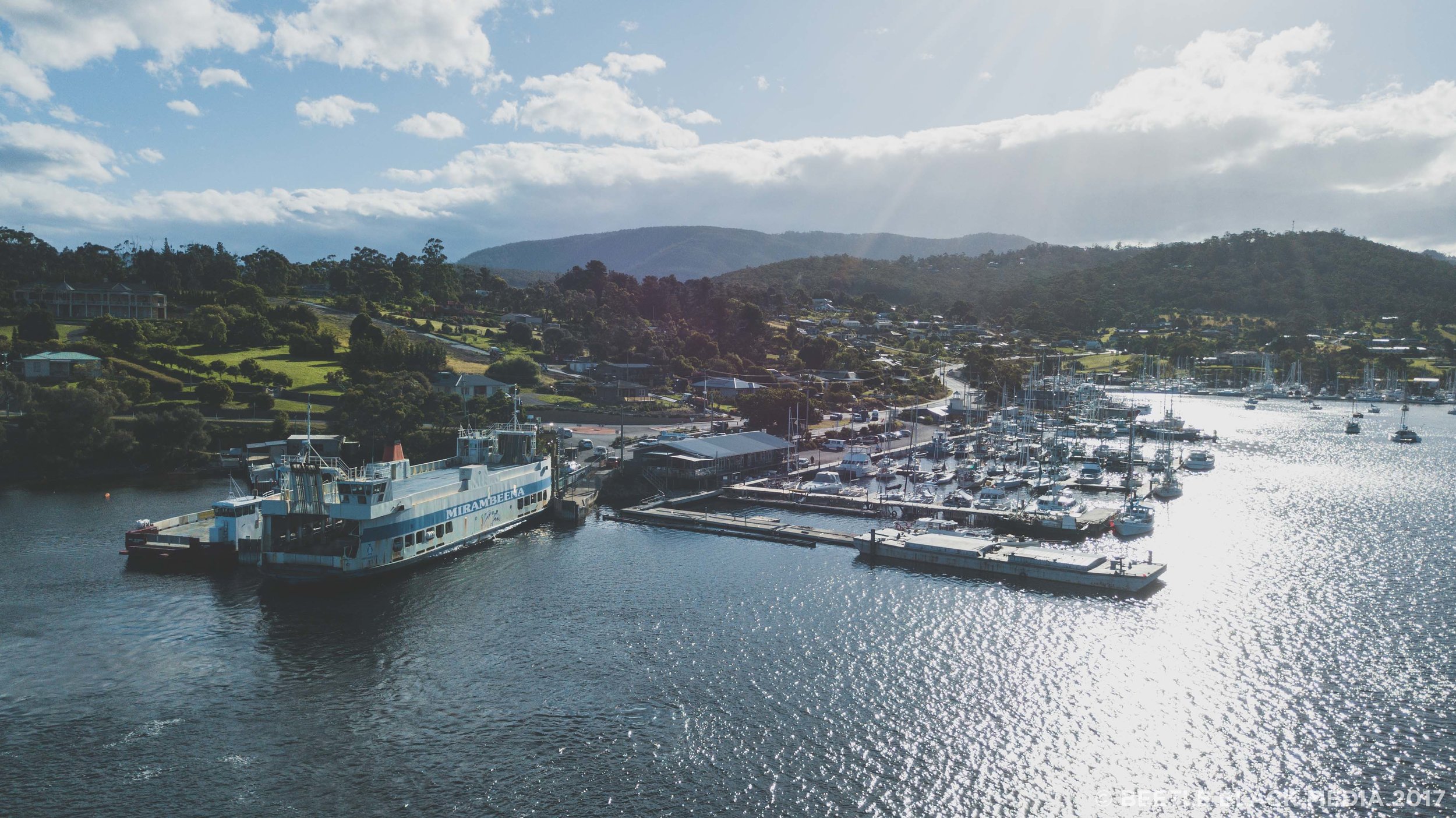
Contact with the mainland was limited to trading steamers which travelled from Hobart, landing at any of the prolific jetties surrounding the island. It was in 1950 when the convenience of Bruny Island as a destination was realised, with the first of many car ferries being implemented by the state government, initially landing at Allonnah in the island’s south. Later, the ferry terminal was moved north, cutting a 40 minute ferry journey by sixty percent.

